http://kartverket.no/en/about-the-norwegian-mapping-authority/
The Norwegian Mapping Authoraties has made several products in the last 4 years, these includes M517, The Norwegian armed forces overview map of Norway and new county maps after the reform of both counties and municipalities in Norway.
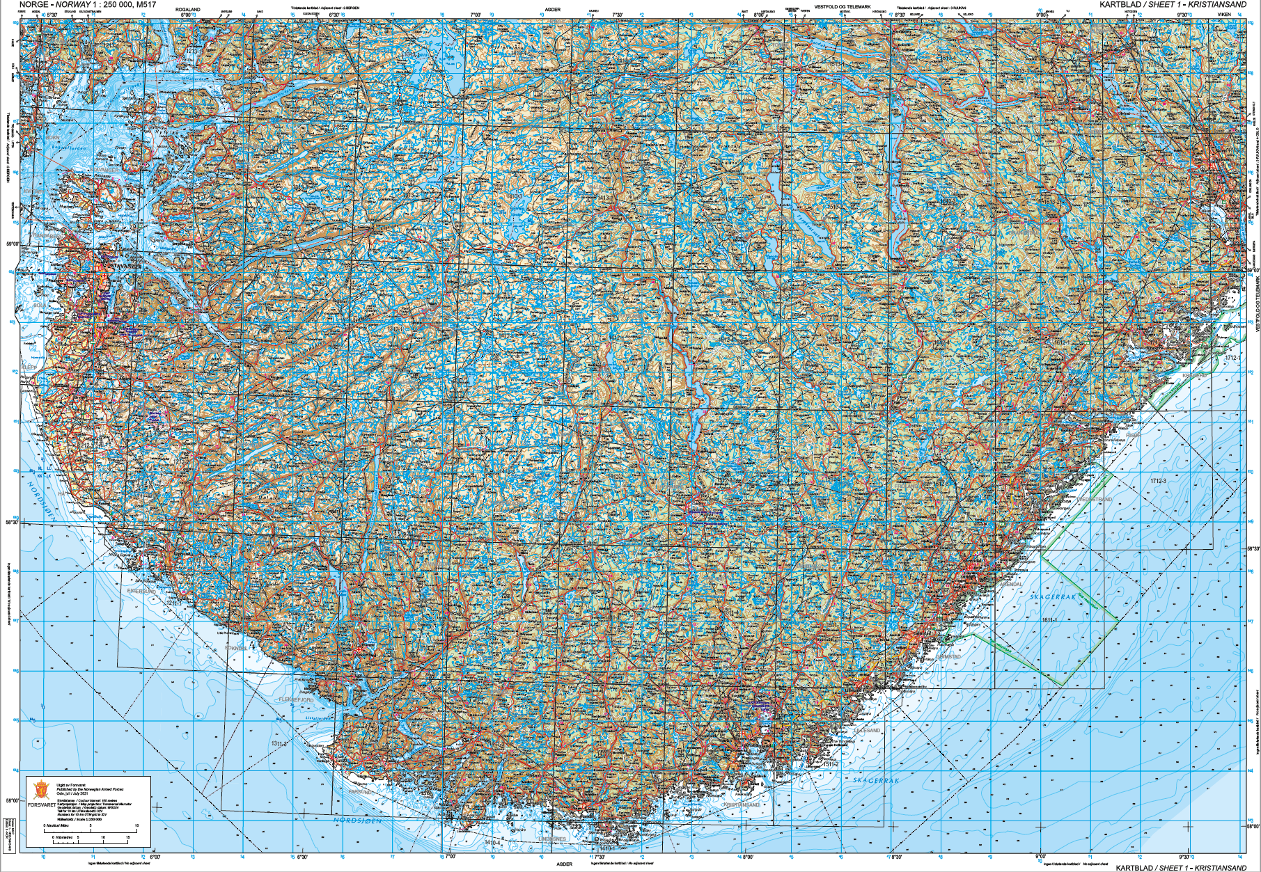
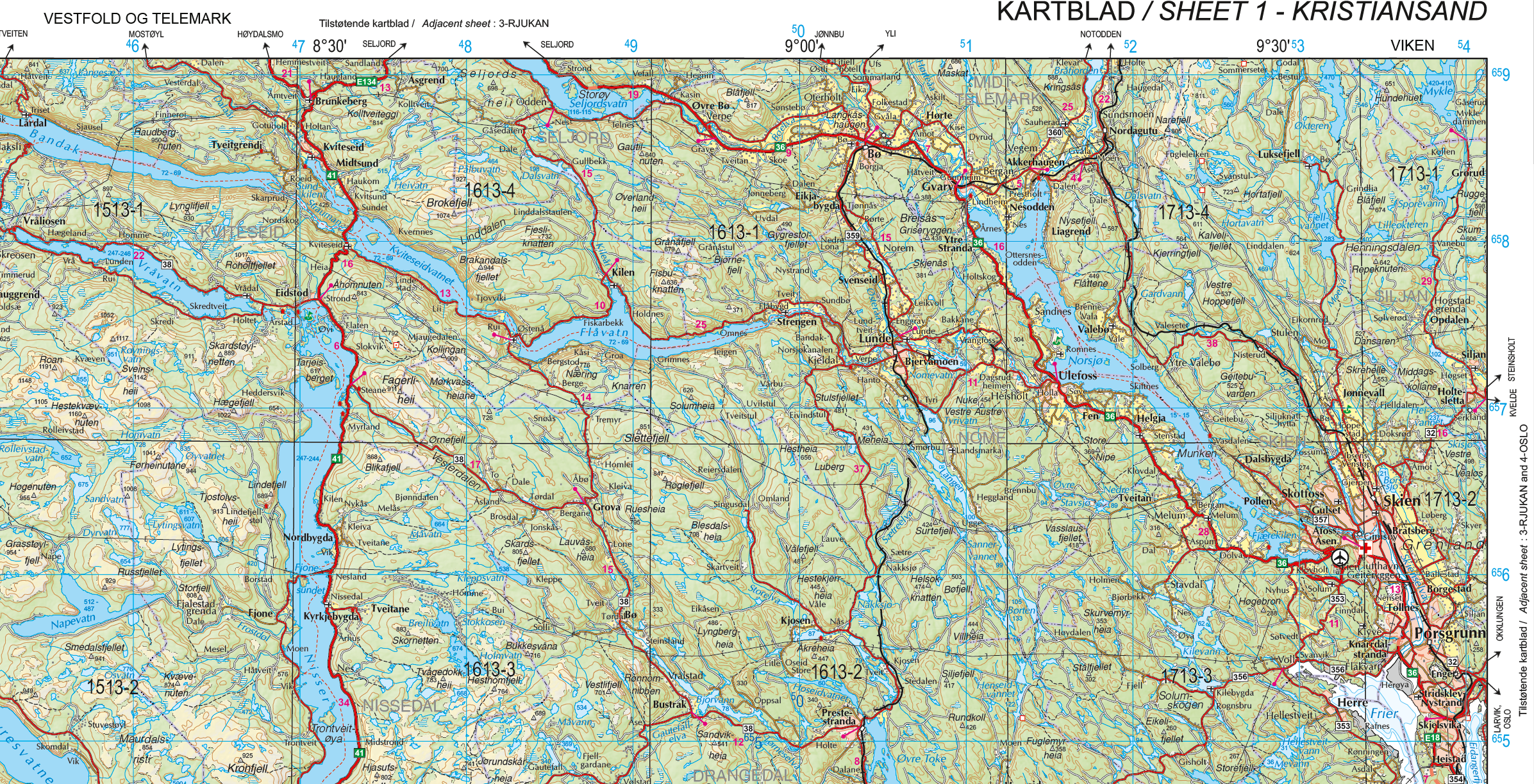
M517 – N250 – 1:250 000
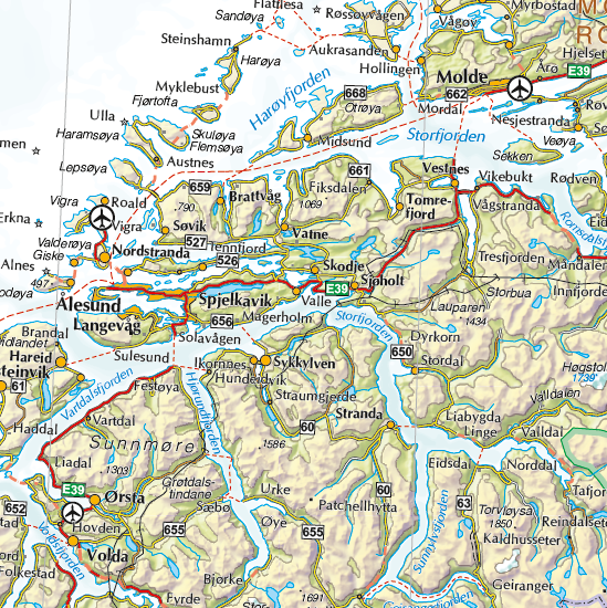
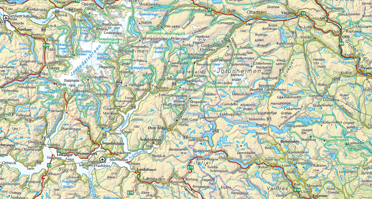
This is a new map series from the Norwegian map authoraties which have been produced per request of the norwegian armed forces. Norway’s 1:25 000/M517 primary purpose is to cover the militaries need for an operational map in smaller scale. The map series purpose is to at all times satisfy the operational needs and will be develeoped further according to demands. The maps shall also work as a roadmap in which they will be use in joint operation between air- and groundforces. Airforces uses the map series M517AIR, which has the same mappsheet and basedata. The essential difference is that M517AIR has terrain height in foot and is applied with aviation data and obstacles.
The map sheet divison for M517( and M517AIR) is oriented after natural geographical regions, in addition the map sheet format is increased from earlier versions. The papirformat is adapted to the biggest format which norwegian graphical industry can handle today. The abbriviation «M517» is in compliance with NATOs standardization system and ecompasses coding for geographical regions, scale and series designation for landmap version, while «M517AIR» denotes aviation maps in scale 1:250 000.
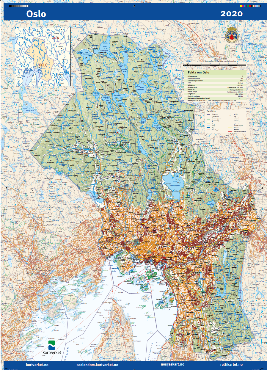
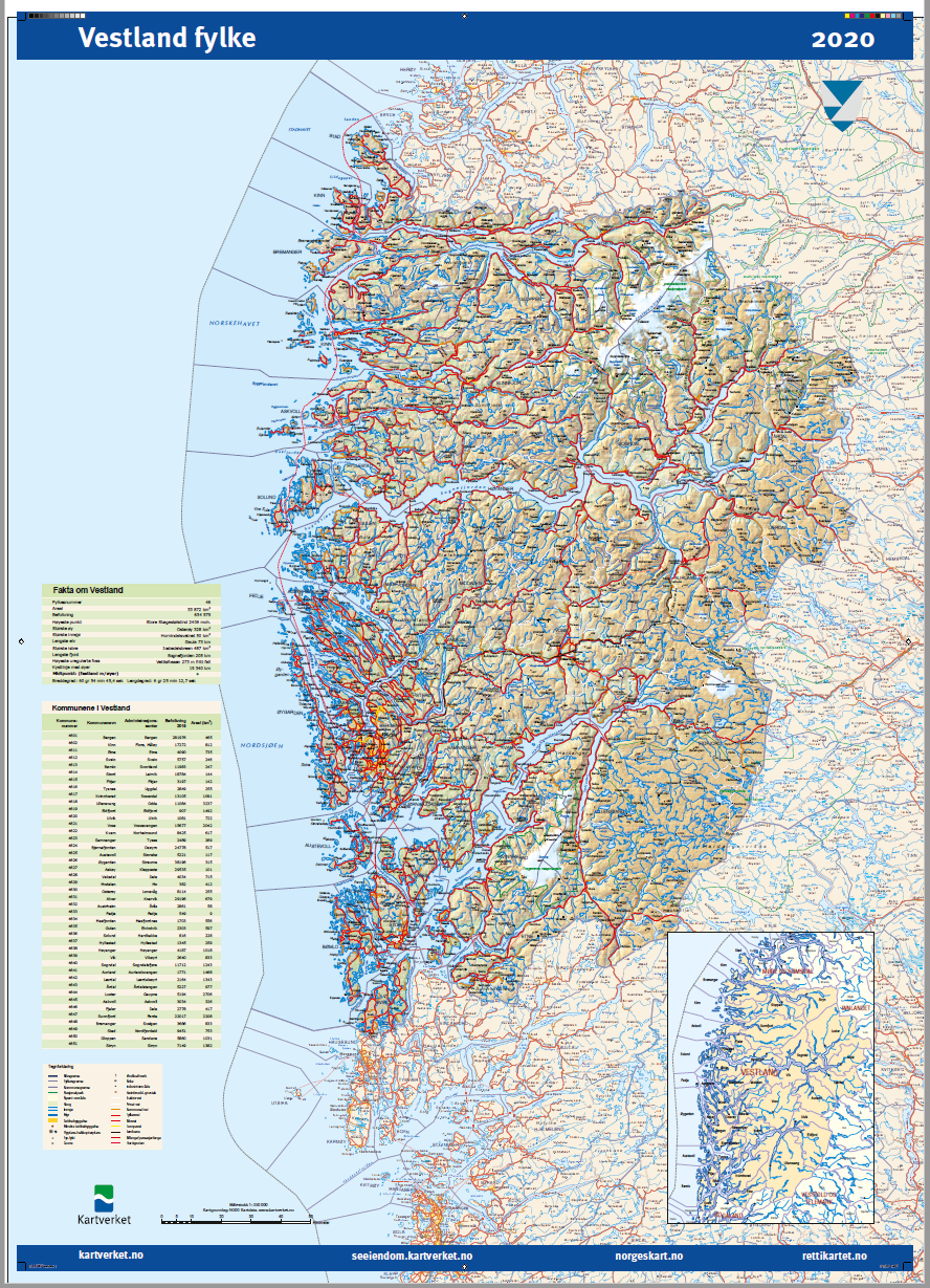
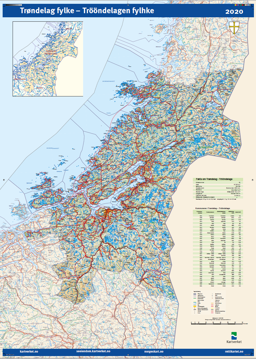
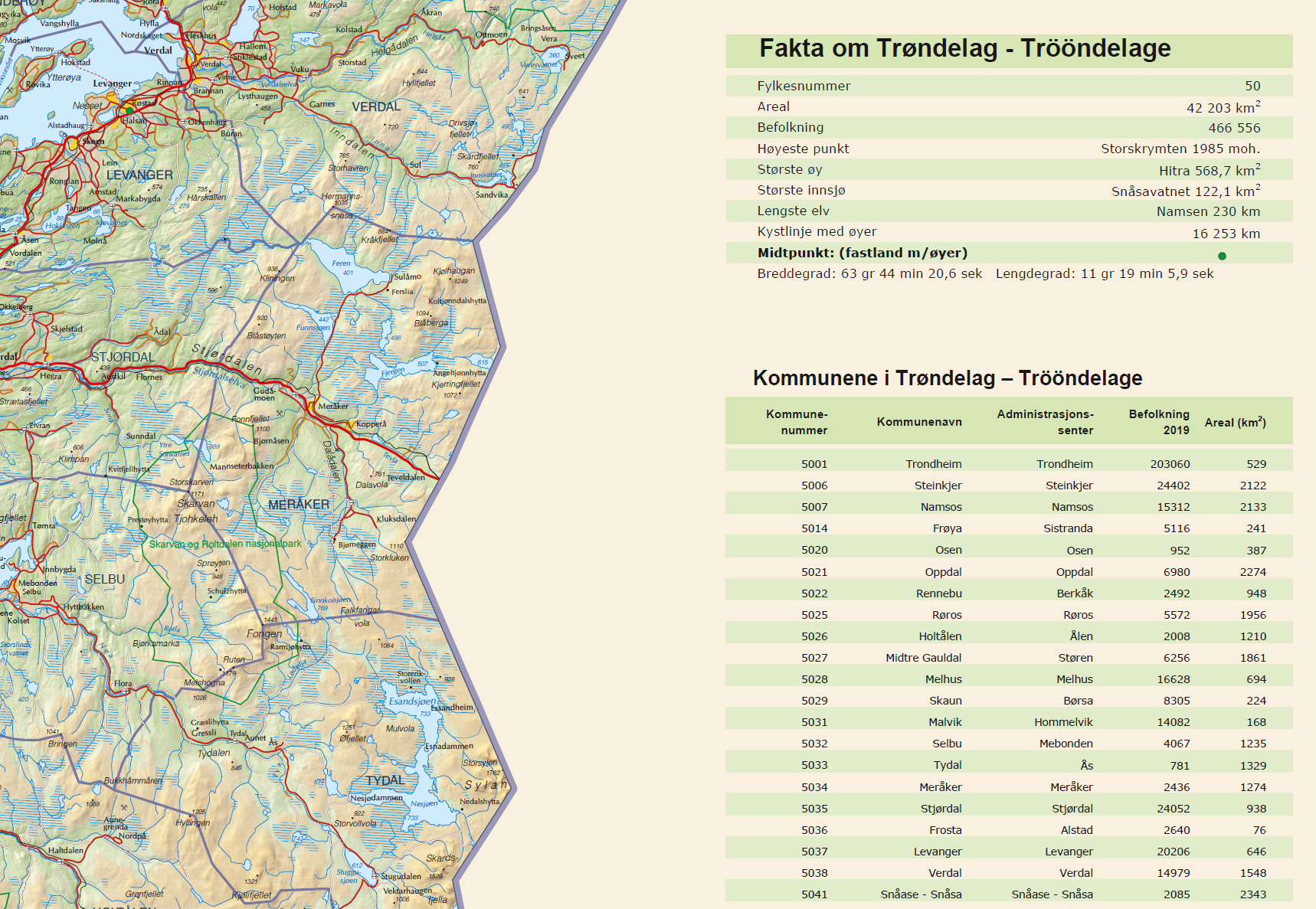
Countrymap
After the county- and municipalityreform in january 2020, the number of municipalities in Norway was reduced from 428 to 356, and the number of counties was reduced from 19 to 11. The Norwegian mapping authoraties made a new updated map over the new counties and minicipalities after the reform and sent these out to the new counties.
County Scale Paperformat
Troms og Finnmark 1:550 000 841 x 1189mm (A0)
Nordland 1:450 000 841 x 1189mm (A0)
Trøndelag 1:500 000 700 x 1000mm
Møre og Romsdal 1:300 000 700 x 1000mm
Vestland 1:350 000 700 x 1000mm
Rogaland 1:250 000 700 x 1000mm
Agder 1:300 000 700 x 1000mm
Vestfold og Telemark 1:250 000 700 x 1000mm
Viken 1:310 000 841 x 1189mm (A0)
Innlandet 1:450 000 700 x 1000mm
Oslo 1:40 000 700 x 1000mm
N500 mapdata is used on all county maps except on Oslo. The mapdata for Oslo county is from N50.
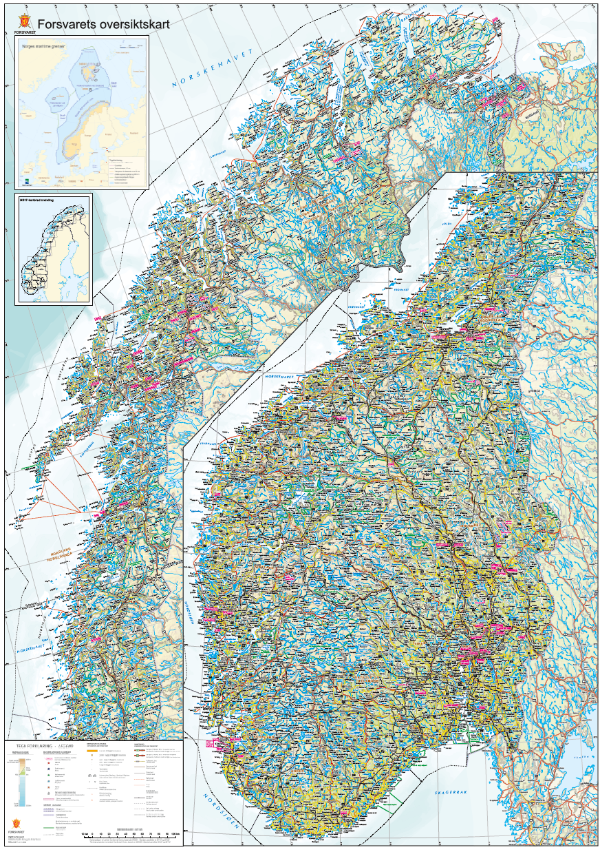
The Norwegian armed forces overview map
The Norwegian armed forces overview map’s primary purpose is to cover the armed forces needs for a map in smaller scale. The map is to at all times satisfy the operational needs and will be developed in step with demands. The map is produced in scale 1:850 000, and uses data from N1000 which is in 1:1 000 000. In addtion to the armed forces, The map is also delivered to the Storting as a new overview map over Norway.