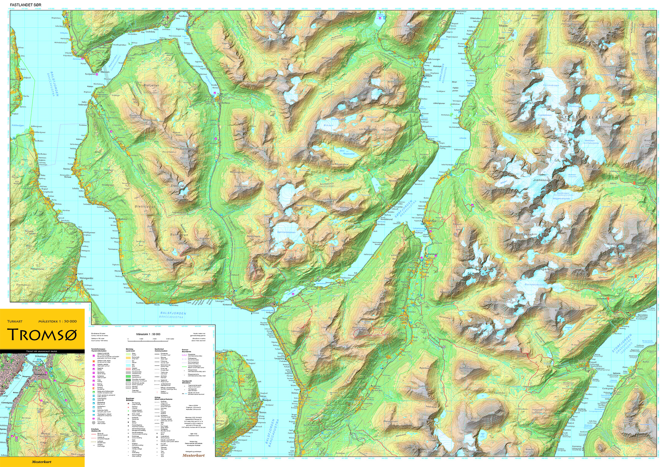
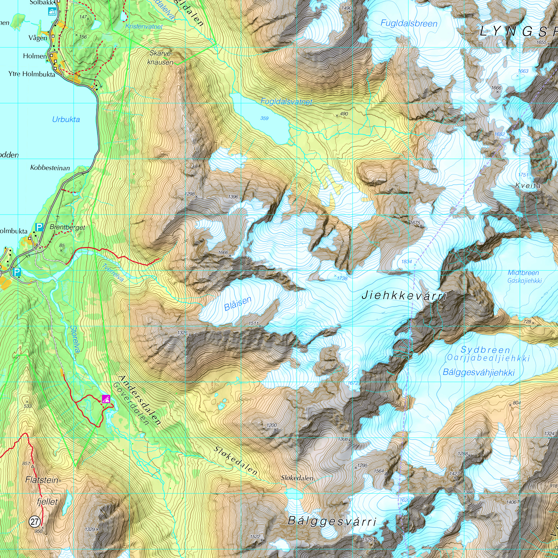
Mesterkart is a company which main focus is to produce maps with high cartographic quality, pleasant to the eye. Our specialty is computer generated hillshading, with a natural color gradient from sea to summit. Our most important products are tourist- and hiking maps, other thematic maps, wall maps, and map illustrations for books. The maps usually have a scale between 1 : 25 000 and 1 : 1 000 000. In addition to map production, we also do some geographic analysis. Our customers are local governments, private companies, non-commercial organizations and private individuals. Most of our customers (and maps) are from Norway.
Mesterkart was established in 2005 by Tore Tonning. Before that Tonning worked with map production in the Norwegian Mapping Authority. In this period he got two awards for excellence in cartography at the ICA map exhibitions in 2001 and 2003. Tore Tonning is still the only “employee” in Mesterkart.