The Norwegian Polar Institute is Norway’s central governmental institution for scientific research, mapping and environmental monitoring in the Arctic and the Antarctic. The institute is a directorate under the Ministry of Climate and Environment, and advises Norwegian authorities on matters concerning polar issues.
Of the 170 employees, a staff of 8 work in the Mapping section. The main tasks are the production of Svalbard map data with corresponding printed topographical maps and map services online. In addition, the section assists other departments with the production of thematic maps, such as printed geological map series and custom maps for papers etc.
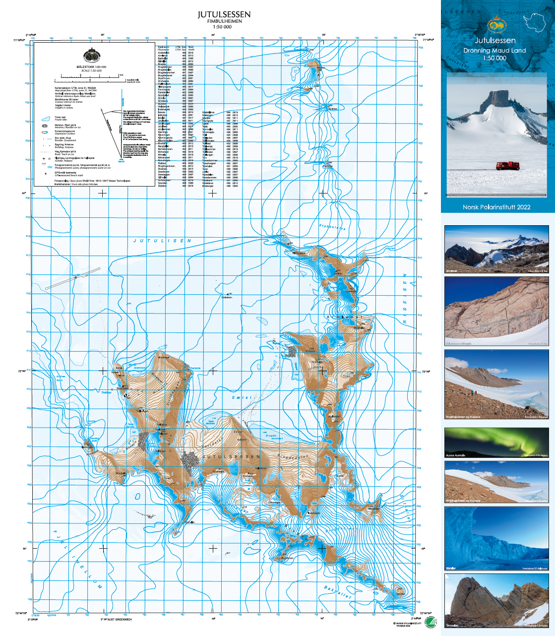
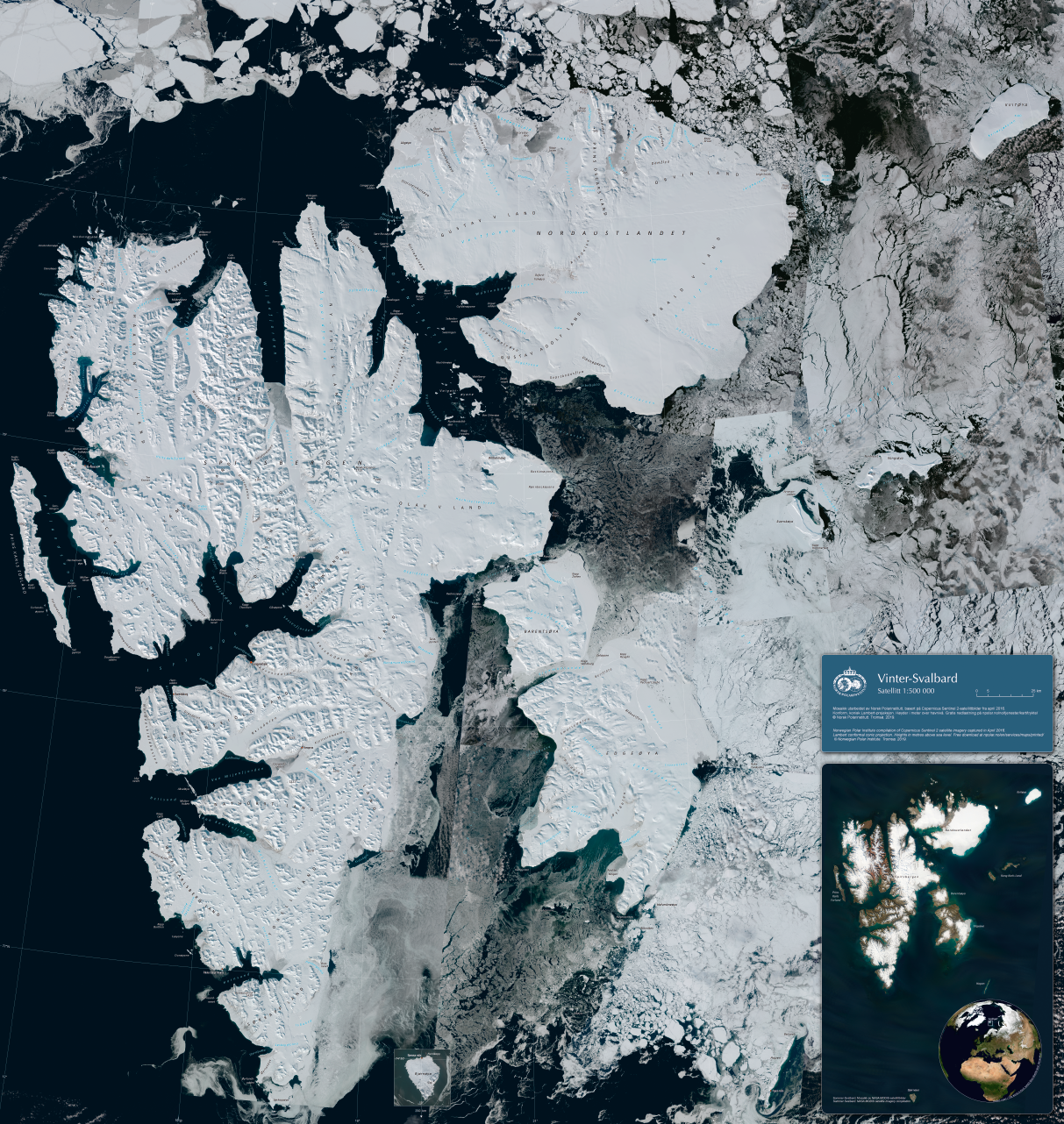
Examples from the production: